Library Catalog

Latest Documents and Publications listed. Use search terms in the box below to find what you need

L-11 Application of Remote Sensing Techniques for the Assessment of Pastoral Resources in Puntland, Somalia

The conceptual aim of the study is to test and evaluate the applicability of remote sensing tools and products in the assessing pastoral resources. In the study remote sensing in combination with fieldwork were used to assess pastoral resources in two study areas falling within Sanag, Sool, Nugal and Mudug Regions of Puntland in northern Somalia. The key purpose of the study was to test remote sensing techniques as tools for assessing and monitoring pastoral resources.

+ More details

Publication Type:

Technical report

Publication Date:

Author:

Oroda A.S., Oduori S. M., Vargas R.R

Corporate Author:

Somalia Water and Land Information Management, Nairobi (Kenya)

L-11 Adeegsi Farsamooyin Jeedaalin Dareeme Fog si loo Qiimeeyo Khayraadka xoolo-daaqeenka gudaha Puntland, Soomaaliya

Ujeedada fikradeed ee daraasadda waa in la tijaabiyo oo la qiimeyn adeegsiga aalado jeedaalin dareeme fog iyo wax soo saar marka la qiimaynayo khayraadka xoolo-daaqeenka. Gudaha daraasadda jeedaalin dareeme fog oo ay ku biirsan tahay hawl duur ayaa la isticmaalay si loo qiimeeyo khayraad xoolo-daaqeen gudah laba goobood oo la darsayey oo ku yaal gudaha Gobollada Sanaag, Sool, Nugaal iyo Mudug ee Puntland gudaha waqooyiga Soomaaliya. Ujeedada daraasadda ugu muhiimsan waxay ahayd in la tijaabiyo farsamooyin Jeedaalin fog oo ah aalado lagu qiimeeyo oo lagula socodo khayraad xoolo-dhaqeen.

+ More details

Publication Type:

Technical report

Publication Date:

Author:

Corporate Author:

L-10 Land Degradation Assessment of a Selected Study Area in Somaliland

As a useful guide for conservation efforts in land resources management in Somaliland, this report describes the prevalent types of land degradation, their causes and impacts. This comprehensive study involved two levels of assessment. One covering the whole area using the LADA-WOCAT expert assessment method and the other focusing on a local area and using a combination of methods i.e LADA-WOCAT expert assessment, time-series (1982 to 2008) analysis of satellite images, and analysis of historical soil properties data. The most common land degradation types identifi ed include loss of vegetation, soil erosion, and decline in soil nutrient.

+ More details

Publication Type:

Technical report

Publication Date:

Author:

Vargas R .R., Omuto C, Alim M.S, Lewis Njeru, Somalia Water and Land Information Management, Nairobi (Kenya), Ismail H., Somalia National University

Corporate Author:

SWALIM

W-10 Improving Flood Forecasting and Early Warning in Somalia

Somalia experiences severe fl ooding in the riverine areas of the Juba and Shabelle. Increased severity and frequency of these floods have in turn led to increased economic damage and human casualties whenever these fl oods occur. This report presents technical options for the development of fl ood forecasting and early warning systems in Somalia. It is the outcome of an assessment carried out by SWALIM and the United States Geological Survey (USGS) on the Juba and Shabelle rivers for river fl ow forecasting and an assessment of Garowe and Hargeisa towns for fl ash fl ood alert systems.

+ More details

Publication Type:

Technical report

Publication Date:

Author:

Gadain H.M., Muchiri, P. W., Muthusi F.M.

Corporate Author:

SWALIM

Publication Type:

Conference Proceedings

Publication Date:

Author:

Paron P. (Editor), FAO SWALIM, Rojas V. (Editor), FAO SWALIM, Pellikka P.

Corporate Author:

Somalia Water and Land Information Management, Nairobi (Kenya)

W-10 Hagaajinta Odoroska Fataadda iyo Digniinta Hore ee Soomaaliya

Soomaaliya waxaa la kulantaa fatahaad aad u daran gudaha dhulka dooxada webiyada Juba iyo Shabeelle. Koror daran iyo soo noqnoqoshada daadadkaan waxay iyana markooda keeneen koror khasaare dhaqaale iyo dhaawacyo aadane markasta oo daadadkaani dhacaan.Warbixintani waxay soo bandhigaysaa fursado farsamadeed ee horumarinta hababka odoroska fatahaadda iyo digniinta hore ee Soomaaliya. Tani waa natiijada ka dhalatay qiimayn ay SWALIM iyo Hayadda Sahminta Joolojiyadeed ee Maraykanka (United States Geological Survey ( USGS )) ku sameeyeen Webiyada Juba iyo Shabeelle ee hillaadinta qulqul webi iyo qiimeynta habab u heeganaan daad butaaco ah ee magaalooyinka Garowe iyo Hargeysa.

+ More details

Publication Type:

Technical report

Publication Date:

Author:

Corporate Author:

Publication Type:

Other

Publication Date:

Author:

Gadain H, Somalia Water and Land Information Management, Nairobi (Kenya), Aduwo D, Somalia Water and Land Information Management, Nairobi (Kenya), Hagen C, Somalia Water and Land Information Management, Nairobi (Kenya)

Corporate Author:

L-07 Land Use Characterization of the Juba and Shabelle

Land use types in the Juba and Shabelle riverline areas were identifi ed through land cover analysis, interviews with land users and the use of past and current satellite images. The report also shows the characterisation of different land use present in the Juba and Shabelle riverine areas. Land-use classes in the study area were determined through land cover analysis, semi-structured interviews and interpretation of satellite imagery, and are described with their specifi c attributes. Users will obtain a detailed overview of land use activities in the study area.

+ More details

Publication Type:

Technical report

Publication Date:

Author:

Oduori S. M., Vargas R.R, Alim M.S

Corporate Author:

SWALIM

L-07 Sifeyn Isticmaal Dhul ee Jubba iyo Shabelle

Noocyo isticmaal dhul ee gudaha gosha Webiyada Juba iyo Shabeelle aayaa la aqoonsaday iyadoo loo marayo falanqayn ded dhul, wareysiyo lala yeeshay isticmaaleyaal dhul iyo adeegsiga masawirro dayax-gacmeed oo ah waqti la soo dhaafay iyo kuwo hadda. Warbixintu waxay sidoo kale muujinaysaa kala soocista isticmaalka dhul kala duwan oo hadda ka jirta gudaha meelaha gosha Juba iyo Shabeelle. Waxaa la xaqiijiyey dabaqadaha isticmaalka dhulka gudaha aagga la daraasay iyadoo loo marayo falanqayn ded dhul, wareysiyo yara-qaabaysan iyo tarjumid sawirro dayax-gacmeed, waxaana la sharaxay sifooyinkooda u gaarka ah. Isticmaaleyaalku waxay heli doonaan muuqaal guud oo faahfaahsan oo ah hawlaha isticmaalka dhulka gudaha aagga daraasadda.

+ More details

Publication Type:

Technical report

Publication Date:

Author:

Corporate Author:

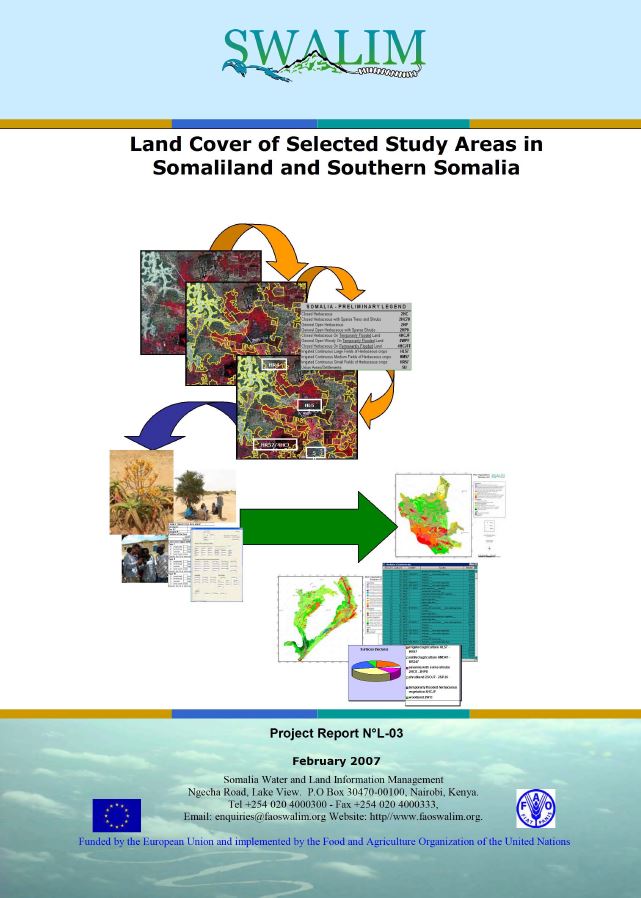
L-03 Land Cover of Selected Study Areas in Somaliland and Southern Somalia - Report No L-03

For this study, land cover classes were created using the Land Cover Classifi cation System (LCSS) of FAO, satellite image interpretation, and fi eld validation. A description of the main land cover types and vegetation units and their locations are given in detail for the two study areas – one in Somaliland and the other in Southern Somalia. The landcover maps developed from this study will be useful in the generation of land use maps and during land suitability analaysis. The report is a valuable resource in natural resources management.

+ More details

Publication Type:

Technical report

Publication Date:

Author:

Oduori S, Downie M., Monaci L.

Corporate Author:

SWALIM

Pages

RSS feed [compliant with the Agris AP] | Agris AP XML