SWALIM Builds Government Capacity on Land Cover Mapping in Mogadishu
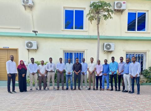
As part of its ongoing capacity-building programme, SWALIM–FAO conducted a Land Cover Mapping Training Using the LCCS3 Legend in Mogadishu from 10 to 21 August 2025. The training brought together technical staff from five Federal Government ministries and agencies – Agriculture and Irrigation, Environment and Climate Change, Livestock Forestry and Range, Energy and Water Resources, and the Somali National Bureau of Statistics. Selected graduates from SWALIM’s six-month on-the-job land cover mapping training also supported their peers during the sessions.
The ten-day training combined theoretical learning with extensive practical work, focusing on FAO’s Land Cover Classification System version 3 (LCCS3) and Somalia’s 36-class land cover legend. Participants learned how to set up Areas of Interest (AOIs), interpret satellite imagery using photo keys, digitize and attribute features in QGIS and ArcGIS Pro, detect and correct topological errors, and produce validated land cover maps.
By the end of the training, participants had successfully generated final land cover maps for their AOIs, demonstrating improved skills in image interpretation, digitization, and data validation. The course also strengthened collaboration across ministries, promoting consistency in land cover monitoring and supporting the development of Somalia’s National Land Cover Reference System (LCRS).
This training highlights SWALIM’s commitment to empowering Somali government staff with the technical expertise needed for reliable land cover mapping. By transferring practical skills and promoting standardized methods, SWALIM continues to play a key role in building national capacity for environmental monitoring and evidence-based resource management.