Project Activities
In carrying out its mandate, SWALIM is active in the following areas:
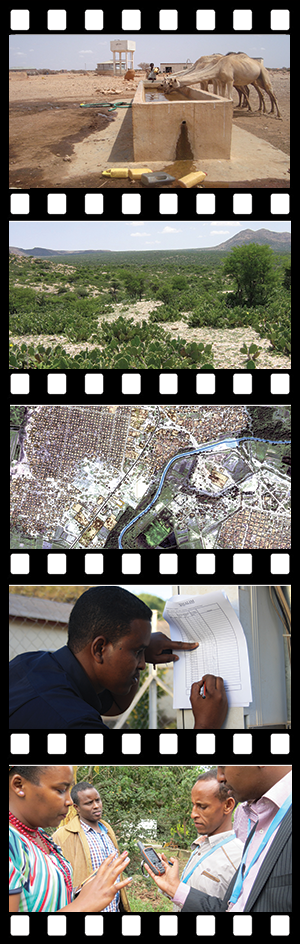
♦ Water - providing information on water resources with a focus on original water sources (rural and urban), irrigation, seasonal climate variations, river gauging networks, weather monitoring networks, and drought and flood early warning and emergency response systems.
♦ Land - providing information on land resources at both the national and regional levels, SWALIM gathers and analyses data on land use and suitability, land forms and cover, surface geology and soil quality. The project also documents and monitors land degradation trends.
♦ Remote Sensing - using both satellite imagery and aerial photography to assess and monitor water and land resources and infrastructure. SWALIM combines Remote Sensing technology with traditional data gathering in the field to provide more accurate and in-depth analysis and information.
♦ Information Management (IM) - building procedures, guidelines and standards for data and information storage, processing, management and access. SWALIM provides information technology solutions and information management support while generating advanced digital information products for dissemination to SWALIM stakeholders.
♦ Capacity Development - focusing on the three dimensions of capacity development, namely the enabling environment, the organization and the individual, SWALIM provides training and support for all stakeholders. In addition to a wide range of courses, SWALIM provides specialized equipment and supplies to government through its line ministries and agencies and has established data centers within these ministries to support sustainable resource management activities.