Library Catalog
Latest Documents and Publications listed. Use search terms in the box below to find what you need
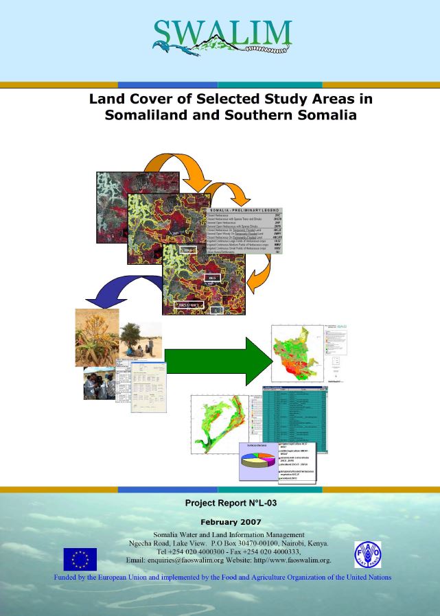
L-03 Ded Dhul Aagag Daraasad loo Doortay gudaha Somaliland iyo Koonfurta Soomaaliya
Daraasaddan, waxaa lagu abuuray darajooyin ded dhul iyadoo la isticmaalayo Hab Abla-abley Ded Dhul ee FAO (Land Cover Classification System (LCSS) of FAO), tarjumaad masawirro dayax-gacmeed, iyo soo hubin duur. Sharaxaadda noocyada ded dhulka ugu muhiimsan iyo xubno dhir iyo goobahooda ayaa la bixiyay faahfaahin labadii goobood daraasadda - mid gudaha Somaliland ah iyo mid kale oo gudaha Koonfurta Soomaaliya ah. Khariidadaha dedka dhulka lagu soo saaray daraasadan waxay anfici doonaan curiyo khariidado isticmaal dhul iyo inta lagu jiro falanqayn haboonaanshiyo dhul. Warbixinta waa khayraad qiimo badan u leh maareynta khayraad dabiiciyeedka.
Publication Type:
Technical report
Publication Date:
Author:
Corporate Author:
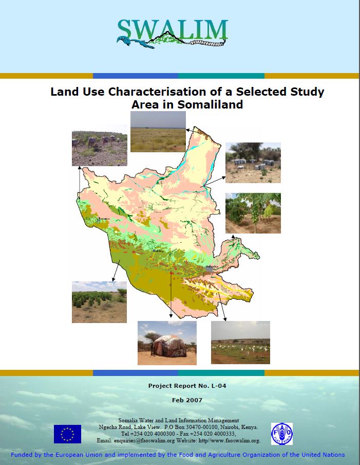
Land Use Characterisation of a Selected Study Areas in Somaliland - Report No L-04
The objective of this study was to characterise and map current land use in the Dur-Dur and Gebiley area of Somaliland. Land-use types were identifi ed through interpretation of land cover data, semistructured interviews and satellite image interpretation for a total area 12 939 km2. This information can be used to assist in making wise choices about land use, determining where best to locate new settlements, cropping, drainage, irrigation, where and when to apply new technologies and to respond to many other questions about management, use and conservation of the natural environment
Publication Type:
Technical report
Publication Date:
Author:
Oduori S. M., Vargas, R, Alim M.S
Corporate Author:
SWALIM
Publication Type:
Other
Publication Date:
Author:
Jenness J (Consultant), Food and Agriculture Organization of the United Nations, Rome (Italy)
Corporate Author:
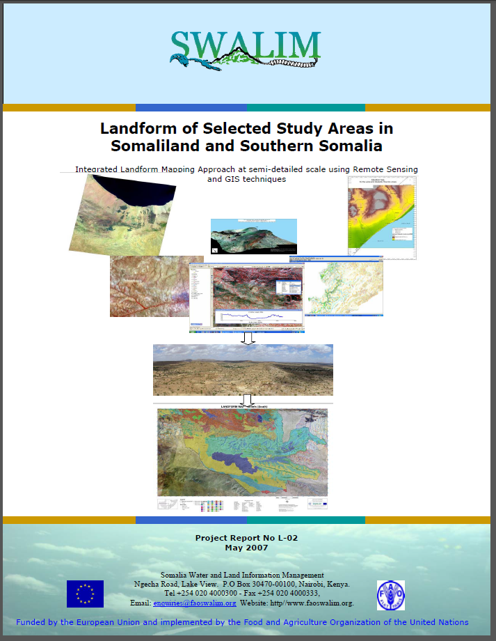
L-02 Landform of selected study areas in Somaliland and Southern Somalia
A key outcome of this study is a new landform dataset for the selected areas of interest (AOI). The mapping of landforms was carried out at a semi detailed scale of 1:50 000 to 1:100 000 and currently constitutes the most recent, detailed and consistent dataset over large portions of the Somali territory. Landscape and relief were mapped through visual interpretation of satellite images combined with geomorphometry. The report contains two landform maps, one for each of the two study areas. The report can be used for natural resource inventory and management. It has potential applications in soil and land cover mapping and land suitability assessment.
Publication Type:
Technical report
Publication Date:
Author:
Paron, P., Vargas, R
Corporate Author:
Somalia Water and Land Information Management, Nairobi (Kenya)
Publication Type:
Other
Publication Date:
Author:
Per Ljung
Corporate Author:
Publication Type:
Other
Publication Date:
Author:
Venema, J.H, Vargas, R
Corporate Author:
L-02 Baxaalli-dhul Meelo Daraasad loo Doortay gudaha Somaliland iyo Koonfurta Soomaaliya
Natiijada u muhiimsan daraasaddan waa xog-ururin baxaalli-dhul cusub ee aagag danayn gaar ah loo doortay (AOI). Waxaa la sameeyey khariidaynta baxaalli-dhulalka oo heer faahfaahin dhexe ah 1:50 000 ilaa 1 : 100 000 oo hadda ah tan ugu dambeysa, la faahfaahiyey oo xog-ururin sugan leh oo gaarsiisan qaybo badan oo dhulka Soomaaliyeed ka mid ah. Sansaaka muuqaal iyo sarrayn dhul ayaa la khariidadeeyey iyadoo la marayo tarjumaad muuqaal masawirro dayax-gacmeed oo ay weheliso cabirista abuurta dhulka (geomorphometry). Warbixinta waxaa ku jira laba ah khariidado baxaalli-dhul (landform), midbana u taagan yahay labada goobood ee daraasadda. Warbixinta ayaa loo isticmaali karaa diiwaangelin khayraad dabiici ah iyo maareyn. Waxay waxtar u leedahay in loo adeegsado khariidadayn ciid iyo ded dhul iyo qiimayn haboonaanshiyo dhul.
Publication Type:
Technical report
Publication Date:
Author:
Corporate Author:

African E-markets, Information and economic development
Written by a select group of African academics, policy makers, researchers, and experts from various social and economic science disciplines, African E-Markets provides provocative insights and case studies on the role information plays in African development. Up-to-date research and analysis on the impact of various forms of information on the development process is presented, including e-economic development and its impact on economic growth. Calling for greater attention to be paid to information as a key sector in national economic development, this exploration of African economics cites the advantages of better statistical data and geographic information for more effective economic planning, management, and forecasting in the digital age.
Publication Type:
Other
Publication Date:
Author:
Opoku Mensah (Editor), Economic Commision for Africa, Addis Ababa (Ethiopia), Salih Mohamed S. A. (Editor)
Corporate Author:
Economic Commision for Africa, Addis Ababa (Ethiopia)
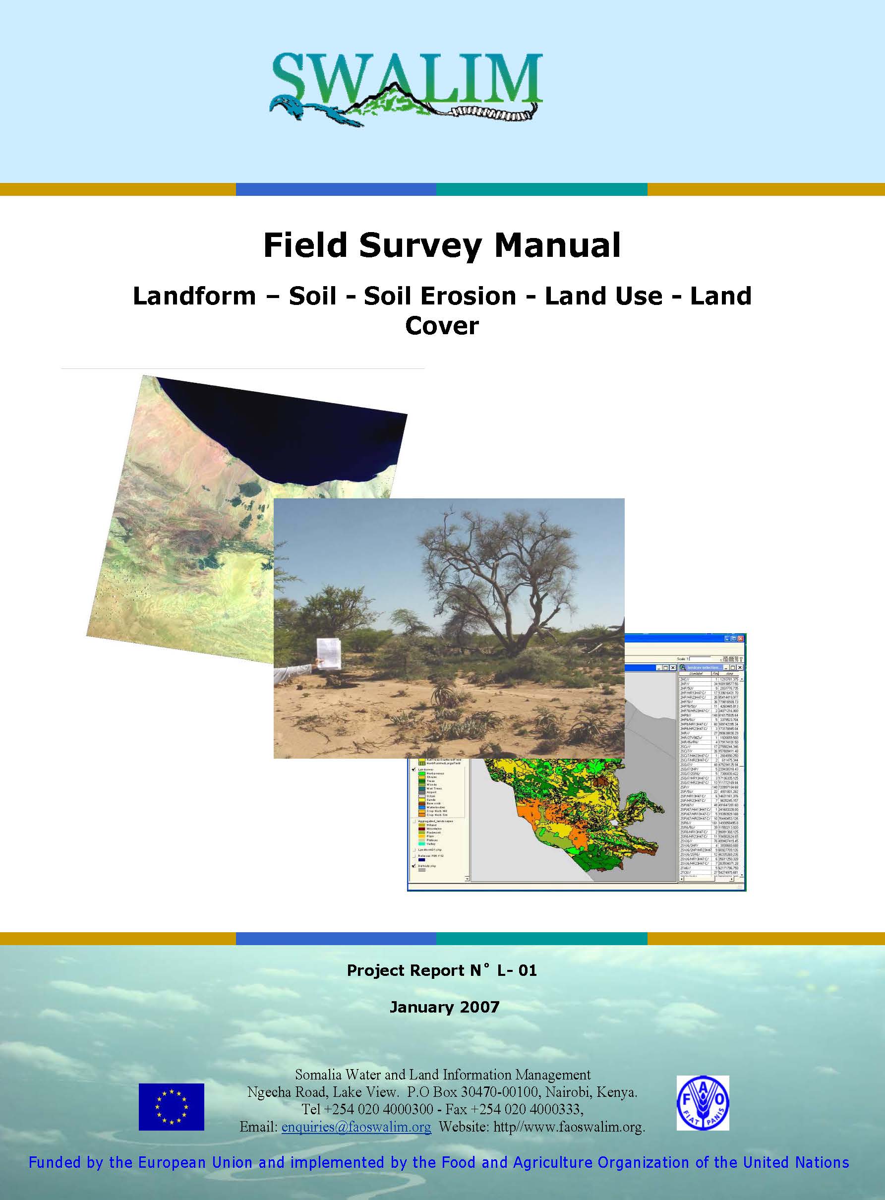
L-01 - Field Survey Manual- Landform, Soil, Soil Erosion, Land Use and Cover
This Field Survey Manual has been produced by the SWALIM (Somalia Water and Land Information Management System) Land Team as a guide to concepts and tools in carrying out field land resource surveys. It is intended for use in both Somaliland and Southern Somalia, the two main foci areas of the present SWALIM Project. However, it may be used by any professional and/or institution dealing with land resource inventories.
Publication Type:
Technical report
Publication Date:
Author:
Corporate Author:
Somalia Water and Land Information Management, Nairobi (Kenya)
Publication Type:
Other
Publication Date:
Author:
Vargas R.R, Omuto C, Alim M.S
Corporate Author:
Pages
 RSS feed [compliant with the Agris AP] |
  Agris AP XML