Digital Map Catalogue.
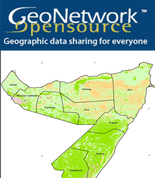
Many UN agencies, NGOs, government ministries and others need access to maps and spatial datasets for their day to day work. Maps in particular are effective communication tools for decision makers in need of quick, reliable and user-friendly products to plan and monitor their activities. Although these datasets exist, it is difficult to know where to find them and when accessed, they are usually not well-documented for effective use. To address this problem, SWALIM has set up a spatial data catalogue based on the FAO Geo-Network software. The catalogue provides access to a large database of spatial data and maps with complete documentation. GeoNetwork also provides access to a huge volume of spatial data from different organizations (who have also deployed the software) and also provides a web-based interactive map viewer that allows people to composite maps, picking layers from different servers on the internet.
Buy Sneakers | Women's Nike Air Jordan 1 trainers - Latest Releases , Ijmedph