Library Catalog
Latest Documents and Publications listed. Use search terms in the box below to find what you need
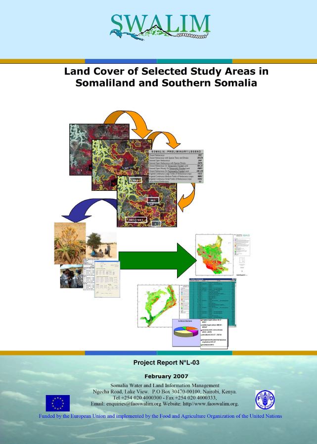
L-03 Ded Dhul Aagag Daraasad loo Doortay gudaha Somaliland iyo Koonfurta Soomaaliya
Daraasaddan, waxaa lagu abuuray darajooyin ded dhul iyadoo la isticmaalayo Hab Abla-abley Ded Dhul ee FAO (Land Cover Classification System (LCSS) of FAO), tarjumaad masawirro dayax-gacmeed, iyo soo hubin duur. Sharaxaadda noocyada ded dhulka ugu muhiimsan iyo xubno dhir iyo goobahooda ayaa la bixiyay faahfaahin labadii goobood daraasadda - mid gudaha Somaliland ah iyo mid kale oo gudaha Koonfurta Soomaaliya ah. Khariidadaha dedka dhulka lagu soo saaray daraasadan waxay anfici doonaan curiyo khariidado isticmaal dhul iyo inta lagu jiro falanqayn haboonaanshiyo dhul. Warbixinta waa khayraad qiimo badan u leh maareynta khayraad dabiiciyeedka.
Publication Type:
Technical report
Publication Date:
Author:
Corporate Author:
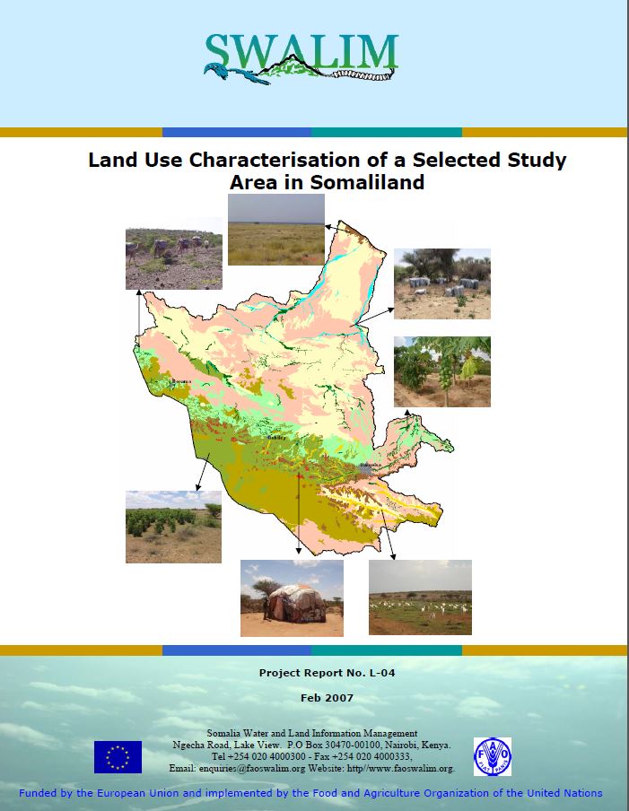
Land Use Characterisation of a Selected Study Areas in Somaliland - Report No L-04
The objective of this study was to characterise and map current land use in the Dur-Dur and Gebiley area of Somaliland. Land-use types were identifi ed through interpretation of land cover data, semistructured interviews and satellite image interpretation for a total area 12 939 km2. This information can be used to assist in making wise choices about land use, determining where best to locate new settlements, cropping, drainage, irrigation, where and when to apply new technologies and to respond to many other questions about management, use and conservation of the natural environment
Publication Type:
Technical report
Publication Date:
Author:
Oduori S. M., Vargas, R, Alim M.S
Corporate Author:
SWALIM

Land Resources of Somalia
The purpose of the present report is two-fold: (1)To summarize and consolidate the main findings of the various land resource surveys and studies carried out in the three study areas and (2) to give a generalized assessment of the land resources of the whole country, based on both existing data (notably on climatic and soils) and on recent SWALIM data.
Publication Type:
Other
Publication Date:
Author:
Venema J. H.
Corporate Author:
Somalia Water and Land Information Management, Nairobi (Kenya)
Publication Type:
Other
Publication Date:
Author:
Corporate Author:
National Academy of Sciences
Publication Type:
Other
Publication Date:
Author:
Monaci L., Downie M., Oduori S
Corporate Author:
Publication Type:
Other
Publication Date:
Author:
Oroda A.S., Oduori S. M., Vargas R .R.
Corporate Author:
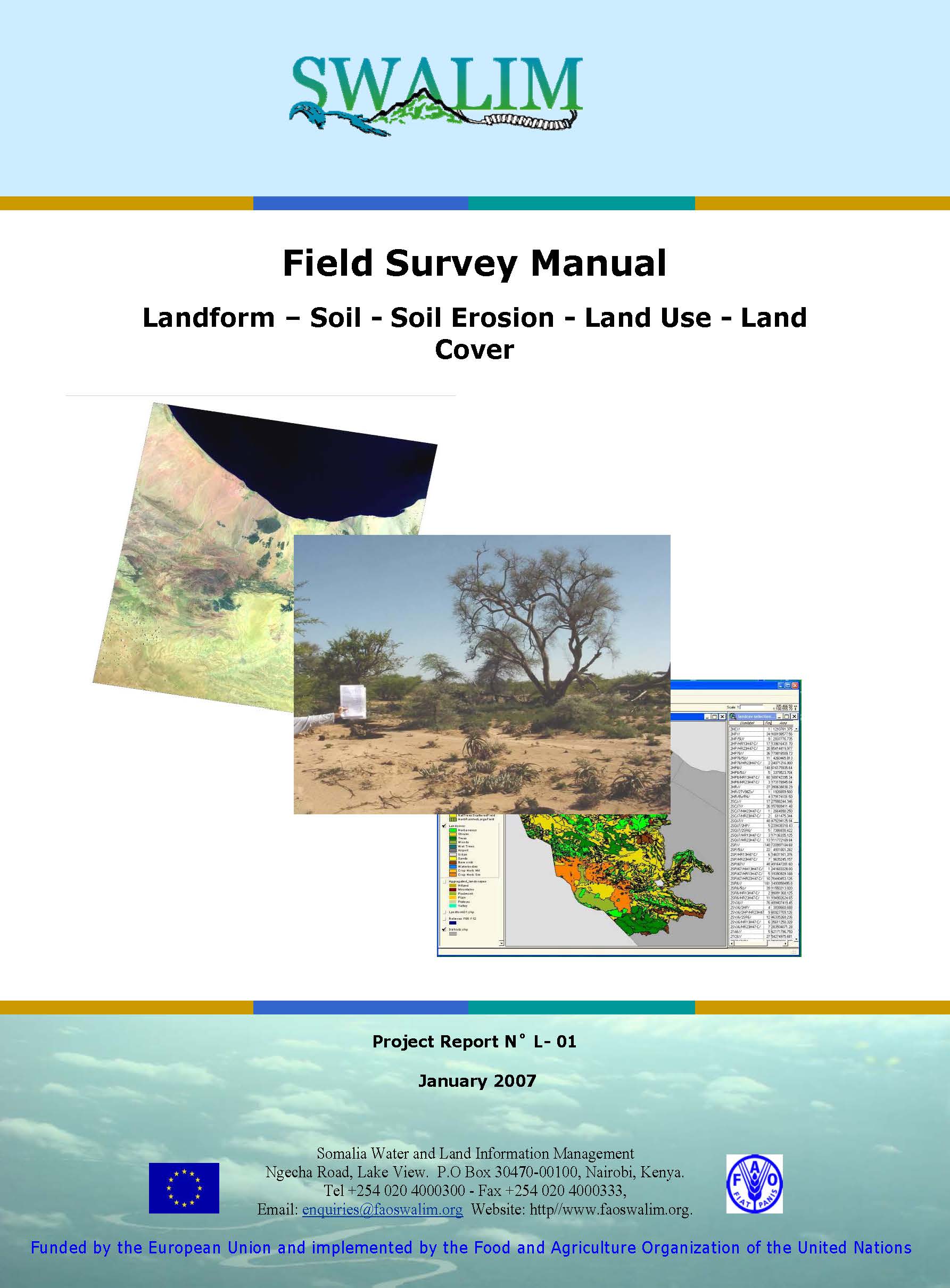
L-01 - Buug-hage Sahan Duur - Baxaalli-dhul, Ciid, Ciid hallaw, Isticmaal Dhul iyo Ded
Buug-hagahaan Shan Duureed waxaa soo saaray kooxda dhulka SWALIM (Soomaaliya Water and Land Information Management System) si hoggaamiye u ah tusaale fikrado iyo aalado marka lagu fulinayo sahammo khayraad dhul duur ah. Waxaa loogu talagalay in loo isticmaalo labada meelood oo ah Somaliland iyo Koonfur Soomaaliya, labada meelood ee Mashruuca SWALIM ee hadda jira fiirada lagu saaray. Si kastaba ha ahaatee, waxaa isticmaali kara cid kasta oo aqoon-xirfadeed leh iyo / ama hay'ad ku hawlan diiwaangellinno khayraad dhul.
Publication Type:
Technical report
Publication Date:
Author:
Corporate Author:
Publication Type:
Other
Publication Date:
Author:
Jenness J (Consultant), Food and Agriculture Organization of the United Nations, Rome (Italy)
Corporate Author:
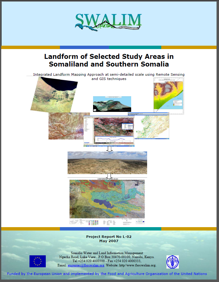
L-02 Landform of selected study areas in Somaliland and Southern Somalia
A key outcome of this study is a new landform dataset for the selected areas of interest (AOI). The mapping of landforms was carried out at a semi detailed scale of 1:50 000 to 1:100 000 and currently constitutes the most recent, detailed and consistent dataset over large portions of the Somali territory. Landscape and relief were mapped through visual interpretation of satellite images combined with geomorphometry. The report contains two landform maps, one for each of the two study areas. The report can be used for natural resource inventory and management. It has potential applications in soil and land cover mapping and land suitability assessment.
Publication Type:
Technical report
Publication Date:
Author:
Paron, P., Vargas, R
Corporate Author:
Somalia Water and Land Information Management, Nairobi (Kenya)
Publication Type:
Other
Publication Date:
Author:
Per Ljung
Corporate Author:
Pages
 RSS feed [compliant with the Agris AP] |
  Agris AP XML