Library Catalog
Latest Documents and Publications listed. Use search terms in the box below to find what you need
W-10 Hagaajinta Odoroska Fataadda iyo Digniinta Hore ee Soomaaliya
Publication Type:
Technical report
Publication Date:
Author:
Corporate Author:

Publication Type:
Other
Publication Date:
Author:
Gadain H, Somalia Water and Land Information Management, Nairobi (Kenya), Aduwo D, Somalia Water and Land Information Management, Nairobi (Kenya), Hagen C, Somalia Water and Land Information Management, Nairobi (Kenya)
Corporate Author:
W-10 Improving Flood Forecasting and Early Warning in Somalia
Publication Type:
Technical report
Publication Date:
Author:
Gadain H.M., Muchiri, P. W., Muthusi F.M.
Corporate Author:
SWALIM
Publication Type:
Conference Proceedings
Publication Date:
Author:
Paron P. (Editor), FAO SWALIM, Rojas V. (Editor), FAO SWALIM, Pellikka P.
Corporate Author:
Somalia Water and Land Information Management, Nairobi (Kenya)
L-07 Land Use Characterization of the Juba and Shabelle
Publication Type:
Technical report
Publication Date:
Author:
Oduori S. M., Vargas R.R, Alim M.S
Corporate Author:
SWALIM
L-07 Sifeyn Isticmaal Dhul ee Jubba iyo Shabelle
Publication Type:
Technical report
Publication Date:
Author:
Corporate Author:
L-03 Land Cover of Selected Study Areas in Somaliland and Southern Somalia - Report No L-03
Publication Type:
Technical report
Publication Date:
Author:
Oduori S, Downie M., Monaci L.
Corporate Author:
SWALIM
L-03 Ded Dhul Aagag Daraasad loo Doortay gudaha Somaliland iyo Koonfurta Soomaaliya
Publication Type:
Technical report
Publication Date:
Author:
Corporate Author:
Land Use Characterisation of a Selected Study Areas in Somaliland - Report No L-04
Publication Type:
Technical report
Publication Date:
Author:
Oduori S. M., Vargas, R, Alim M.S
Corporate Author:
SWALIM
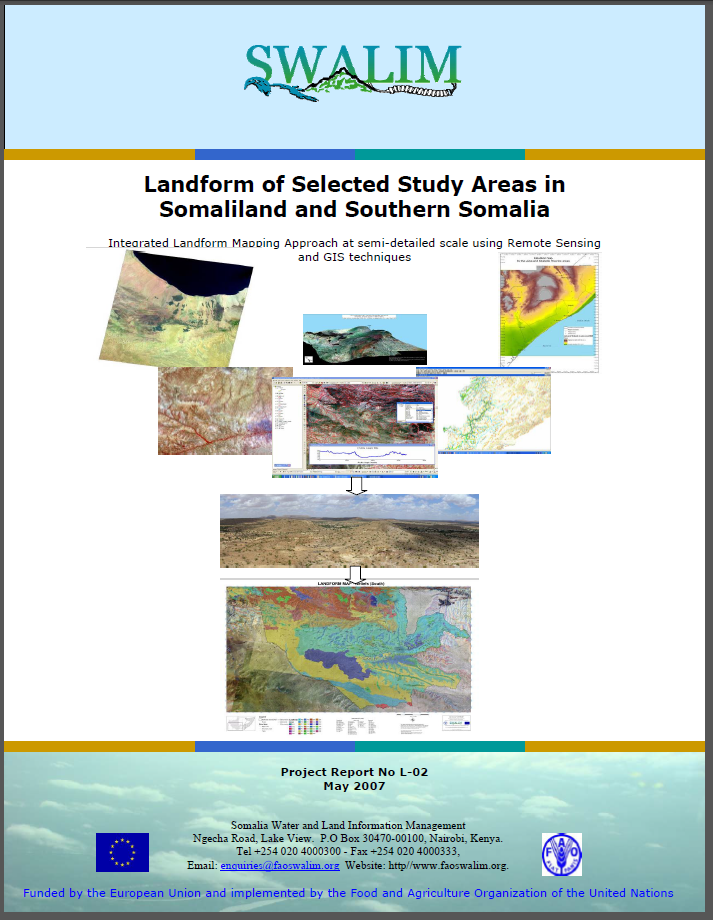
L-02 Landform of selected study areas in Somaliland and Southern Somalia
Publication Type:
Technical report
Publication Date:
Author:
Paron, P., Vargas, R
Corporate Author:
Somalia Water and Land Information Management, Nairobi (Kenya)
Pages
 RSS feed [compliant with the Agris AP] |
  Agris AP XML