Library Catalog
Latest Documents and Publications listed. Use search terms in the box below to find what you need
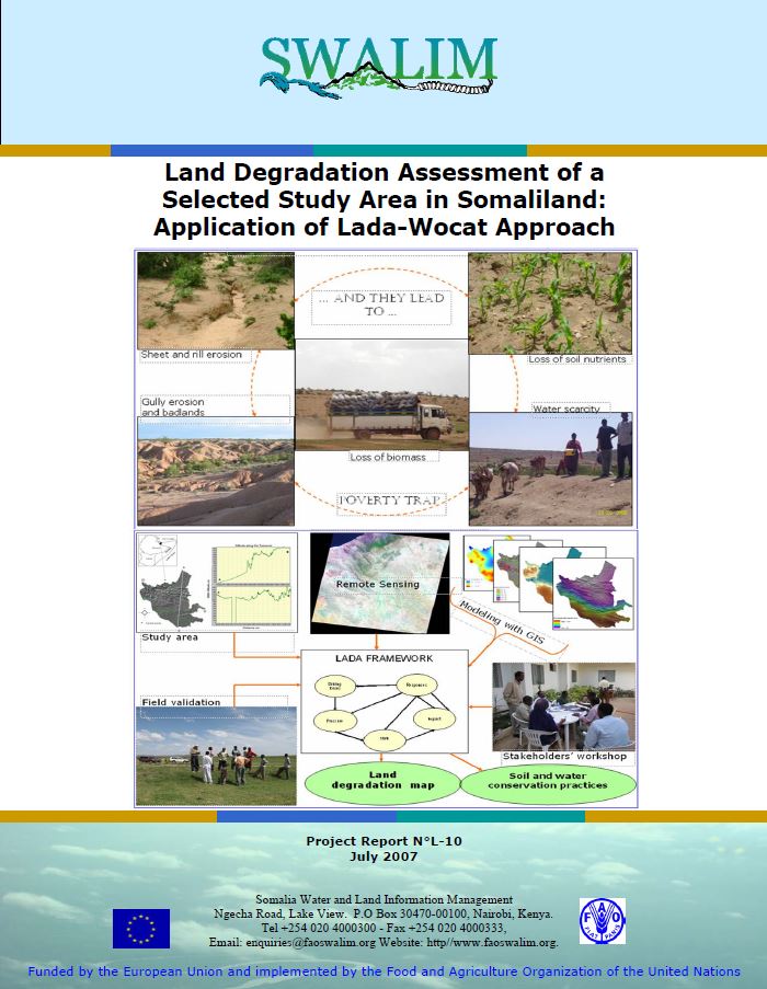
L-10 Land Degradation Assessment of a Selected Study Area in Somaliland
Publication Type:
Technical report
Publication Date:
Author:
Vargas R .R., Omuto C, Alim M.S, Lewis Njeru, Somalia Water and Land Information Management, Nairobi (Kenya), Ismail H., Somalia National University
Corporate Author:
SWALIM
L-10 Qiimayn Xaaluf Dhul ee Goob loo Xushay Daraasayn gudaha Soomaaliya
Publication Type:
Technical report
Publication Date:
Author:
Corporate Author:
L-09 Qiimayn Haboonaanshiyo Dhul ee Juba iyo Shabeelle
Publication Type:
Technical report
Publication Date:
Author:
Corporate Author:
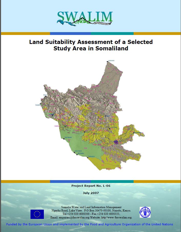
L-06 Land Suitability of a Selected Study Area in Somaliland
Publication Type:
Technical report
Publication Date:
Author:
Venema, J.H, Vargas R .R.
Corporate Author:
SWALIM
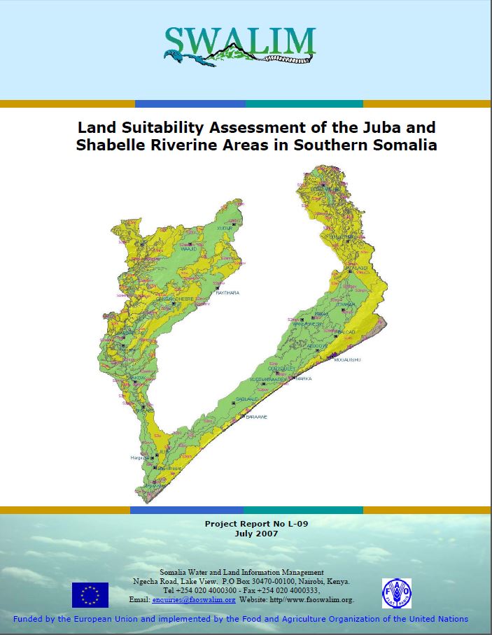
L-09 Land Suitability Assessment of the Juba and Shabelle
Publication Type:
Technical report
Publication Date:
Author:
Venema J. H., Vargas R .R.
Corporate Author:
SWALIM
L-06 Haboonaanshiyo Dhul Aag laga Doortay gudaha Soomaaliyand
Publication Type:
Technical report
Publication Date:
Author:
Corporate Author:
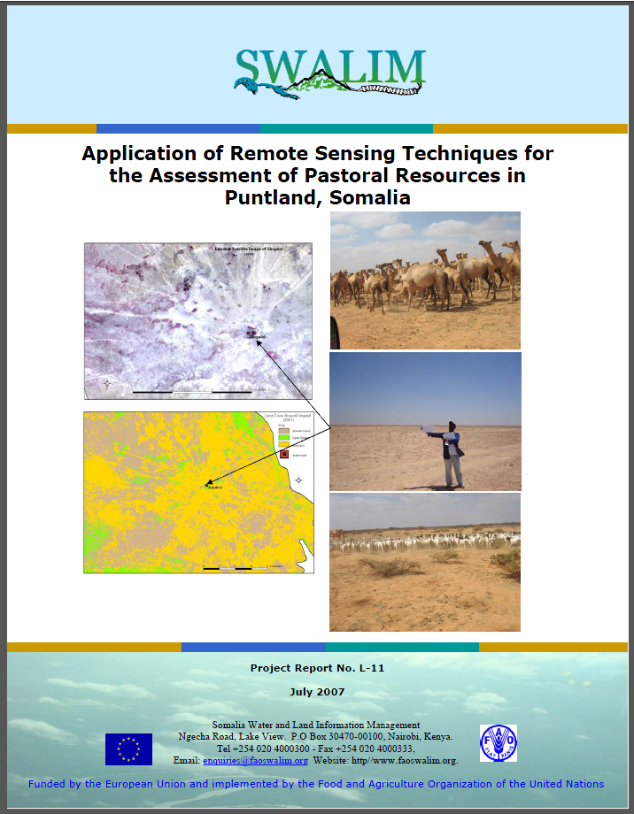
L-11 Application of Remote Sensing Techniques for the Assessment of Pastoral Resources in Puntland, Somalia
Publication Type:
Technical report
Publication Date:
Author:
Oroda A.S., Oduori S. M., Vargas R.R
Corporate Author:
Somalia Water and Land Information Management, Nairobi (Kenya)
L-11 Adeegsi Farsamooyin Jeedaalin Dareeme Fog si loo Qiimeeyo Khayraadka xoolo-daaqeenka gudaha Puntland, Soomaaliya
Publication Type:
Technical report
Publication Date:
Author:
Corporate Author:
W-10 Improving Flood Forecasting and Early Warning in Somalia
Publication Type:
Technical report
Publication Date:
Author:
Gadain H.M., Muchiri, P. W., Muthusi F.M.
Corporate Author:
SWALIM

Publication Type:
Conference Proceedings
Publication Date:
Author:
Paron P. (Editor), FAO SWALIM, Rojas V. (Editor), FAO SWALIM, Pellikka P.
Corporate Author:
Somalia Water and Land Information Management, Nairobi (Kenya)
Pages
 RSS feed [compliant with the Agris AP] |
  Agris AP XML