Library Catalog
Latest Documents and Publications listed. Use search terms in the box below to find what you need
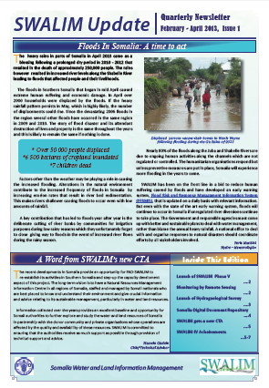
SWALIM Update Issue 1
The newsletter provides updates on SWALIM water and land information management activities such as flood and drought early warning systems, hydro meteorological monitoring, status of the Somali water sources, land degradation, remote sensing monitoring, and water and land baseline and thematic studies. You will also be updated on the capacity development activities, particularly the training courses from which you can benefit. The training courses are open to all Somali stakeholders, especially women.
We hope you will enjoy this first edition of 2013 and those that will follow. You feedback will be highly appreciated and will help us improve future editions
Publication Type:
Newsletter
Publication Date:
Author:
Corporate Author:
W-22 Qiimaynta Baahida Biyaha ee Juba iyo Shabeelle
Webiyaada Jubba iyo Shabeelle waa durdurrada kaliya ee joogtada ah gudaha Soomaaliya. Waxay ka soo dhashaan gudaha Itoobiya, halkaas oo ay ka yimaadaan biyaha qulqulaya boqolkiiba 90 wax ka badan. Dooxooyinka labada webi waxay fidsan yihiin aag dhul oo bedkiisu yahay 174.600 km2 gudaha Soomaaliya. La socod aasaasi ah ee labada webi iyo dooxooyinkooda ayaa waxay ka dhex socotay mashaariicdii hore ee SWALIM, oo u dhigaysa aasaas wanaagsan hab aad u horumarsan, kormeerid webi oo joogto ah iyo isku dubaridid xog (xarumo hawo automaatik ah, cabbiraado qulqul oo joogto ah, indha-indhayn caroo-degis iyo kormeerid tayo biyo oo ay weheliso habab tijaabo ah oo lagula socodo xaaluf dhul). Dooxooyinka Juba iyo Shabeelle waxaa sidoo kale loo yaqaan “Dambiisha kibista” Soomaaliya: Waa xarunta waxsoosaarka beeraha iyo xoolaha iyo hooyga dadweynaha Soomaaliyeed badankiisa.
Publication Type:
Technical report
Publication Date:
Author:
Corporate Author:
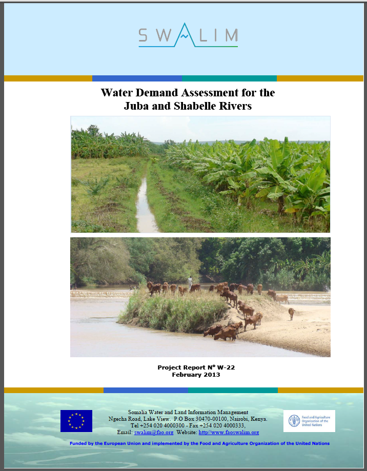
W-22 Water Demand Assessment for the Juba and Shabelle Rivers
The Juba and Shabelle rivers are the only perennial streams in Somalia. They originate in Ethiopia, where over 90 percent of the stream flow is generated. The two river basins cover an area 174,600 km2 within Somalia. Basic monitoring of the two rivers and their basins has been ongoing in the previous SWALIM projects, laying a good foundation for more developed, continuous river monitoring and data processing (automatic weather stations, continuous discharge measurements, sediment and water quality monitoring together with pilot land degradation monitoring systems). The Juba and Shabelle basins are also called the ‘breadbasket’ of Somalia: It is the centre of agricultural and livestock production and home to the majority of the Somali population.
Publication Type:
Technical report
Publication Date:
Author:
Gadain H.M.
Corporate Author:
Somalia Water and Land Information Management, Nairobi (Kenya)
W-21 Saamaynta Cimiladu ku leedahay Khayraadka Biyaha Soomaaliland iyo Puntland
Aqoonsi, qiimeyn iyo horumarin khayraad biyo-dhul-hoose ayaa hadda mudnaan degdeg ah u leh gargaarga degdeg ah iyo horumarinta muddo dheer gudaha dhamman dalalka Geeska Afrika oo ay saamaysay abaar iyo biyo yaraan. Sida jawaab u ah arrintaan, UNESCO, bishii May 2012, waxay bilawday hindisaha “Xoojinta Awoodda si gudaha Geeska Africa loogala dagaalamo Abaar iyo Macluul: Soo bixinta Khayraad Biyo-dhul-hoose si loo helo biyo gurmad degdeg” taasoo ay Dowladda Japan taageero ka geysanayso. Mashruucu guud ahaan wuxuu higsanayaa in la khariidadeeyo abaar-u-adkeysiga khayraadka biyo-dhul-hoose ee gudaha meelaha ay dhibaatadu saameysey iyo xoojinta awoodaha goboleed si loo maarayo biyo-dhul-hoose oo abaar-u-diyaargarow u dhaco.
Si looga faa'iidaysto shabakadda la dhisay iyo qotada khibrad hawl-la-wadaagta UNESCO ee FAO-SWALIM (Maareynta xogta biyaha iyo dhulka Soomaaliya) gudaha Soomaaliya, ayaa la rasmiyeey heshiis iskaashi oo dhexmaray UNESCO-FAO kaasoo qeexaya qaabka-shaqo ee mashruuca guud ahaan. Iyadoo mashruucan ka qayb ah, SWALIM waxay dhawaan dhamaystirtay sahan biyo-jooloiyadeed (hydrogeological) iyo qiimayn aagag dhul laga xushay Somaliland iyo Puntland kaas oo uu ka soo baxay macluumaad waxtar ah oo ku saabsan khayraad biyo-dhul-hoose ee la heli karo kaas oo ku biirsamaya hawlahii hore ee SWALIM ee maareynta macluumaadka kheyraadka biyaha iyo dhulka Soomaaliya.
Publication Type:
Technical report
Publication Date:
Author:
Corporate Author:
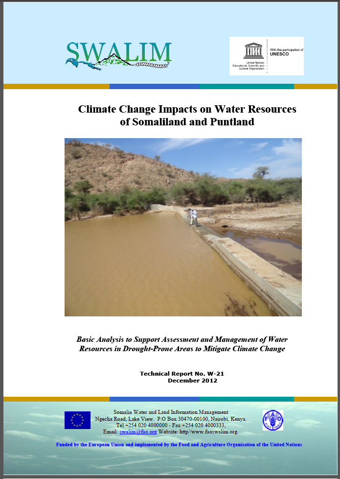
W-21 Climate CHange Impacts on Water Resources of Somaliland and Puntland
Identifying, assessing and developing groundwater resources is now an urgent priority for emergency relief and long-term development in all countries in the Horn of Africa affected by drought and water scarcity. As a response to this context, UNESCO, in May 2012, launched the initiative “Strengthening Capacity to Combat Drought and Famine in the Horn of Africa: Tapping Groundwater Resources for Emergency Water Supply” through support of the Government of Japan. The overall project aims to map-out drought-resilient groundwater resources in affected areas and strengthen regional capacities in managing groundwater for drought-preparedness. In order to take advantage of the established network and experienced profile of UNESCO’s partner FAO-SWALIM (Somalia Water and Land Information Management) in Somalia, an agreement of this UNESCO-FAO partnership was formalized that governs the framework of the overall project. As part of this project, SWALIM has recently finalized a hydrogeological survey and assessment in selected areas of Somaliland and Puntland which has come up with a wealth of information on potential groundwater resources which supplements SWALIMS previous activities in Somali water and land resources information management.
Publication Type:
Technical report
Publication Date:
Author:
Gadain H.M.
Corporate Author:
Somalia Water and Land Information Management, Nairobi (Kenya)
W-20 Sahan Biyo-jooloiyeed iyo Qiimayn Meelo laga Doortay Gudaha Soomaaliland iyo Puntland
Warbixintani waxay muujinaysaa qiimayn la sameeyey sanadkii 2011/2012 si loo ogaado biyaha kayd oo ka jira dhulka-hoose ee gudaha Soomaaliland iyo Puntland. Warbixintu waxay bixinaysaa faahfaahino ah xog ururinta iyo falanqaynta ay ka mid yihiin: - sahanno jooloiyadeed iyo oogo-dhuleed (geological and geophysical field surveys) oo geyiga duurka ah; iyo falanqayn xog jeedaalin dareeme fog (remote sensing data), iyo sidoo kale waxyaabo kala duwan oo laga soo saaray sahanka/qiimaynta.Waxsoosaarka sahanka biyo-jooloiyeed (hydrogeology) waxaa ku jira waxyaabo kale oo ku dhex jira: biyo-jooloiyeed iyo tayada biyaha Somaliland iyo Puntland oo heerka cabirku yahay 1: 750,000; khariidado hydrogeology ee 4 aagag oo la danaynayo oo qiyaasta cabirku tahay 1: 250,000; Warbixinta weyn ee qiimeynta iyo 4 lifaaq oo bixinaya faahfaahinada shaqada duurka, geophysics, jeedaalin dareeme fog iyo gundhig-xog. Warbixinta waxaa la filayaa inay isticmaalaan daneeyeyaal kala duwan ee waaxda biyaha, badanaa maamullada biyaha Somaliland iyo Puntland ee horumarinta iyo maaraynta khayraadka biyo-dhul-hoose ee gudaha gobolka.
Publication Type:
Technical report
Publication Date:
Author:
Corporate Author:
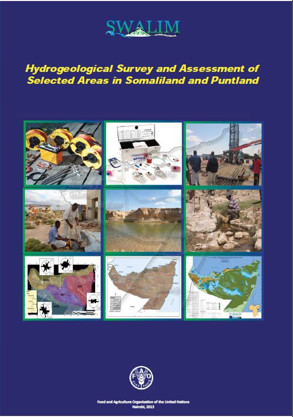
W-20 Hydrogeological Survey and Assessment of Selected Areas in Somaliland and Puntland - Report No W-20
This report documents an assessment carried out in 2011/2012 to identify potential groundwater aquifers in Somaliland and Puntland. The report gives details of the data collection and analysis including:- desk studies; geological and geophysical field surveys; and remote sensing data analysis, as well as various products generated from the survey / assessment. The products of the hydrogeology survey include among others: hydrogeology and water quality maps of Somaliland and Puntland at a scale of 1:750,000; Hydrogeology maps for 4 selected areas of interest at a scale of 1:250,000; main report of the assessment and 4 appendices giving details of the field work, geophysics, remote sensing and databases. The report is expected to be used by different stake holders in the water sector, mainly the water authorities in Somaliland and Puntland for development and management of groundwater resources in the region
Publication Type:
Technical report
Publication Date:
Author:
Muthusi F.M., Gadain H.M., Somalia Water and Land Information Management, Nairobi (Kenya) - SWALIM
Corporate Author:
SWALIM
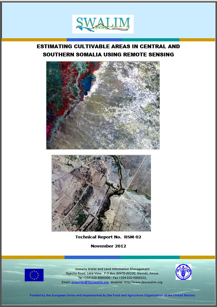
RSM-02 Odorosid Meelo Dhulbeereed ah Bartamaha iyo Koonfurta Soomaaliya iyadoo loo isticmaalayo Jeedaalin Dareeme Fog
Soomaaliya inta badan waa dal kulul oo oomane iyo yara-oomane isugu jira oo xaddiyada celceliska roobabku u dhaxayo 50 iyo 500 - 600 mm sandkiiba (inkasta oo meelaha qaarkood ay heli karaan xaddi ka yara sareeya). Si loo bixiyo qiyaas koowaad ee dhulka la beeran karo, daraasaddan waxay falanqeysay masawrirro dayax-gacmeed ASTER ah (oo meesha aan la heli karin, waxaa la isticmaalay masawirro kale oo bayaansanaan dhexdhexaad leh) ee sanadkii 2010 iyo 2011 si loo soosaaro akhbaar ku saabsan waxbeerashada gudaha bartamaha iyo koonfurta Soomaaliya. Natiijooyinka daraasadan waxay saldhig u ahaan doonaan falanqayn isxigxigta, aadna u hufan oo ay ku jiri doonaan qaabab namuunado loo soo guro iyo soo xaqiijinta xaalka duurka (iyada oo la adeegsaday shaqaale gurmad degdeg ee FAO iyo kormeerayaal FSNAU ka tirsan) si loo ogaado awoodda waxsoosaarka dhulka iyo qiyaasta waxsoosaar hababka beerashada kala duwan ee heerar beeralay iyo heer degmo.
Publication Type:
Technical report
Publication Date:
Author:
Corporate Author:
RSM-02 Estimating Cultivable Areas in Central and Southern Somalia using Remote Sensing
Somalia is largely a hot, arid and semi-arid country with rainfall amounts averaging between 50 and 500 - 600 mm per annum (even though some areas may receive slightly higher amounts).To provide a first estimate of the cultivable land, this study analyzed ASTER satellite images (and where not available, other medium resolution images) for 2010 and 2011 to generate information about cultivation in central and southern Somalia. The results of this study will be the basis for a successive, more accurate analysis which will include sampling approaches and field validation (through FAO emergency staff and FSNAU monitors) in order to establish the potential cultivable land and estimate production for the different cropping systems at farmer and district levels.
Publication Type:
Technical report
Publication Date:
Author:
Oduori S. M., Oroda A.S., Gadain H.M.
Corporate Author:
Somalia Water and Land Information Management, Nairobi (Kenya)
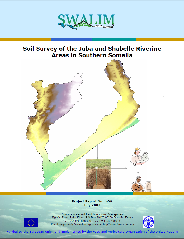
L-08 Soil Survey of the Juba and Shabelle Riverine Areas in Southern Somalia
Soil information is a key element for natural resources planning. A key output of this study is a soil map with a scale of 1:100, 000 containing the major soil types as well as soil maps for some of the irrigation projects along the Juba and Shabelle river catchments. Further, the report contains information on soil physical and chemical properties, which are key elements for natural resource management. Soil spatial variability is described for an area of approximately 88,000 km2 in the Juba and Shabelle riverine areas in Southern Somalia. This study is essential for carrying out land suitability and land degradation assessments
Publication Type:
Technical report
Publication Date:
Author:
Corporate Author:
Pages
 RSS feed [compliant with the Agris AP] |
  Agris AP XML